The new municipal general plan: why it decides whether a plot can be built on
The general plan replaces the old study and marks out an infill development area. Outside it, and outside a local plan, a building-conditions decision is no longer available.
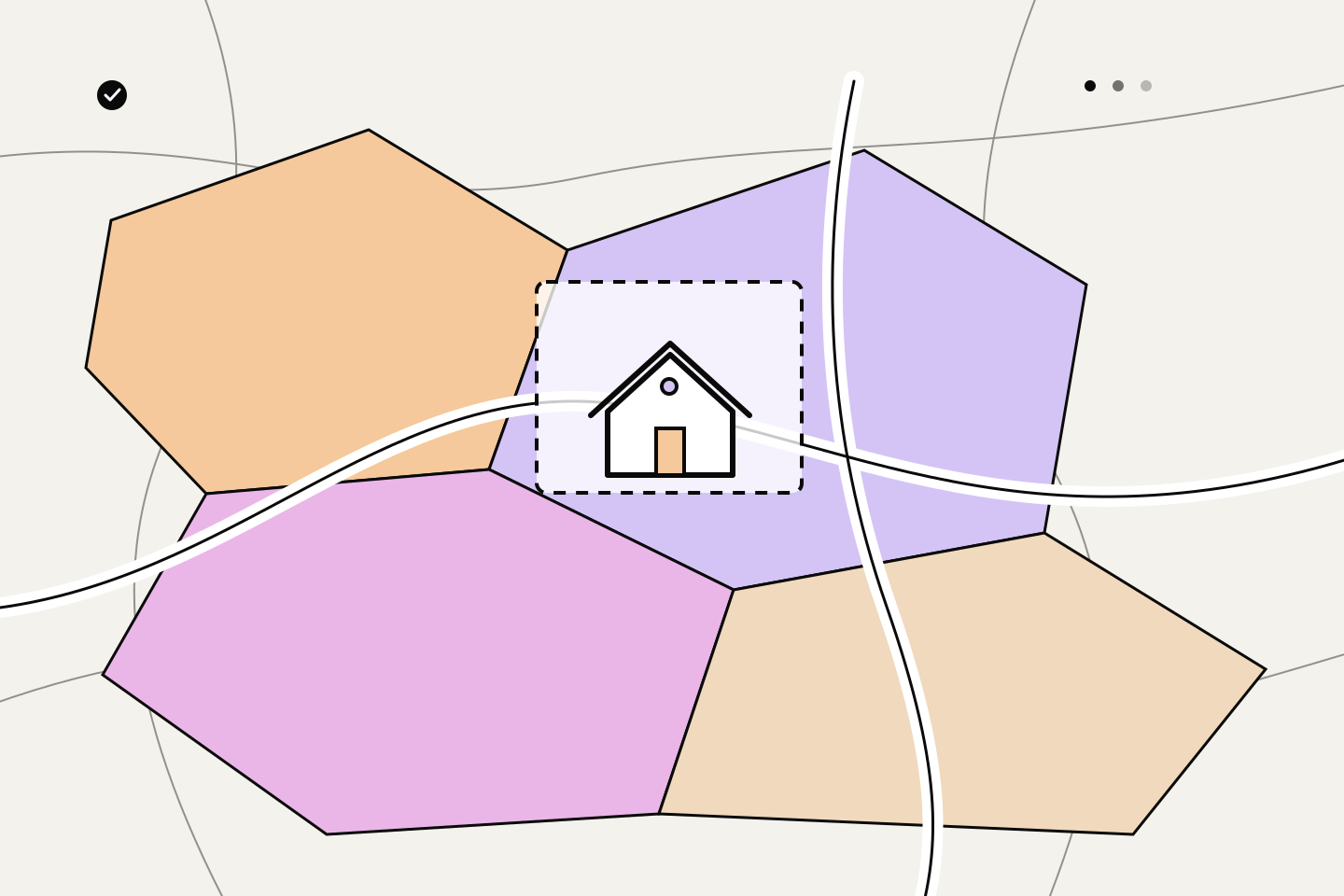
- The local zoning planwhere one is in force, the extract and excerpt settle what may be built
- The municipal general planwith no local plan, what matters is whether it is adopted or still a draft
- The infill development areaonce the general plan is in force, a new house is possible only inside it
- The application for building conditionswhere the plot lies inside that area and meets the other conditions of Art. 61
What is actually changing
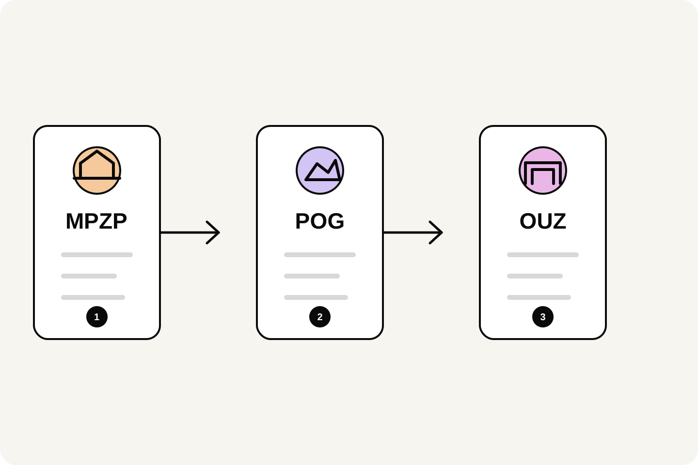
Poland's planning reform replaces the old study of conditions with a new document: the municipal general plan. The difference is fundamental. The study set directions and was not a basis for issuing decisions. The general plan is local law, and every new building-conditions decision must fit within it.
For most plots covered by a local development plan, nothing changes. The local plan remains the decisive document, describing height, roof pitch, building line and permitted use.
The change concerns plots without a local plan, which in Poland is the majority. Until now the route to building was a building-conditions decision based on the good-neighbour principle. Once the general plan takes effect, that route narrows to a single area drawn on a map.
The infill development area
The infill development area, known in Polish as OUZ, is the part of a municipality identified in the general plan. For a new house on land without a local plan, being inside the OUZ is generally one of the conditions for obtaining a building-conditions decision.
Being inside the OUZ is not automatic permission to build. The plot must still meet the remaining requirements, including good-neighbour analysis, road access, utilities and separate regulations.
Outside the OUZ, the standard route to new building conditions for a house closes. Existing final decisions remain usable, and a local plan may still provide a route. Statutory exceptions exist, but they concern specific types of development rather than a typical new house.
The dates that matter
The reform unfolds across several dates and some have already passed. The table below sets out those that genuinely affect a decision to buy a plot or to start preparing for construction.
The key observation concerns pending applications. An application filed before the new rules take effect is assessed under the law in force on the filing date, even if the decision itself comes much later. The filing date can therefore matter more than the decision date. What such a case consists of, which attachments it needs and how long it takes are covered in our guide to building conditions step by step.
| Date | What it involves |
|---|---|
| 16 October 2025 | the cut-off for open-ended validity: applications filed earlier lead to decisions with no expiry date |
| 1 January 2026 | newly issued building-conditions decisions are valid for 5 years; decisions final before that date stay open-ended |
| 1 September 2026 | where no general plan is in force, a decision on an application filed from this date can only be issued once the plan takes effect |
| 1 January 2027 | the applicant must hold the right to use the property for construction purposes |
Why 1 January 2027 matters to buyers
Until the end of 2026, a person may apply for building conditions without owning the plot. This remains a practical way to check a proposed house before purchase instead of relying only on the seller's assurance.
From 1 January 2027 the applicant must demonstrate the right to use the property for construction purposes. A buyer should therefore agree a safe verification route with the seller, often through an appropriate right or a conditional transaction.
For anyone considering a plot without a local plan, the order of steps over the coming months therefore has measurable consequences.
How it looks in the Chojnice district
The scale varies greatly between municipalities, and local data shows it best. The table below sets out the status of each plan as at 11 September 2026; resolution numbers, infill-area sizes and why the percentages mislead are covered in our maintained article on general plans in the Chojnice district.
The contrast between the town and the rural municipalities is clear. In the town of Chojnice the infill area covers more than a quarter of the territory; in the rural municipalities it is below two per cent.
| Municipality | General plan status | What it means now |
|---|---|---|
| Chojnice — town | adopted 22 June 2026 | check the plot in the plan in force; infill area 27.64% of the territory |
| Chojnice — rural municipality | adopted 13 August 2026, in force from 4 September 2026 | check the plot in the plan in force; infill area 1.87% of the territory |
| Czersk | adopted 26 May 2026, published 10 June 2026 | check the plot in the plan in force; infill area 1.68% of the territory |
| Brusy | draft, not yet adopted | a decision on an application filed from 1 September 2026 is only possible once the plan takes effect |
A low share does not always mean trouble
These percentages deserve a careful reading, because they refer to the entire municipal area. In Czersk the open zone covers more than ninety per cent of the territory, and that is mostly forest and farmland. The infill area is meant to cover the surroundings of existing villages and settlements, not the whole municipality.
A few per cent of the area can therefore include most of the places where anyone actually wants to live. The number alone does not say whether a particular plot is inside or outside — only that the margin is narrow and checking matters.
The practical conclusion concerns isolated plots, far from existing buildings. Those are the ones that most often fall outside the infill area, and also the ones that most often look best in a listing.
What to check for a specific plot
The order is always the same and starts with the local plan. If the plot is covered by one, an extract and a map excerpt are enough — the infill question does not apply.
Since 1 July 2026 the Rejestr Urbanistyczny has been running — a single government place where municipalities publish spatial planning acts, general plans included. It is still in a transition period and municipalities are filling it in, so for now it is worth checking both the register and the municipal BIP.
If there is no local plan, the next step is to establish whether the municipality has adopted its general plan and whether the plot falls inside the infill development area. Adopted plans are published in the municipal public information bulletin together with their maps; some municipalities also publish them through a geoportal.
Where the general plan is still a draft, the public display period is the window for filing an objection. Once adopted, changing the boundaries requires amending the whole document.
When a plot falls outside the area
What remains is the route through a local development plan. Adopting or amending a plan for a specific area is a municipal procedure measured in years and dependent on the council, so it is hard to treat as a plan for the coming building season.
Checking early is what actually helps. The difference between a plot inside the infill area and one just beyond its boundary can be invisible on the ground and entirely decisive on paper — and at the point of purchase it translates directly into price and into whether the purchase makes sense at all.
An order that makes sense
Planning documents first: the local plan, and in its absence the general plan and the boundaries of the infill development area. Then access to a public road, utilities and ground conditions. Only then the massing, the floor area and the choice between a catalogue plan and a custom design.
The reform did not change that order. What changed is that the first step became more decisive than before, and that some tools for checking a plot now come with an expiry date.
Before buying a plot with no local plan, check these 7 things
This list applies to plots not covered by a local development plan. Where a local plan exists, an extract and map excerpt are enough.
- whether the municipality has adopted its general plan or it is still a draft
- whether the plot lies within the infill development area
- whether a building-conditions decision has been issued and on what date
- whether an existing decision is open-ended or valid for five years
- whether the plot has access to a public road and a possible entrance
- which utilities are within reach and on what terms operators allow connection
- what the land register says about the class and designated use of the land
The general plan and your plot — short answers
How does the general plan differ from a local plan?
The general plan covers the whole municipality and sets out planning zones and the infill development area. It does not describe the parameters of a specific building. A local plan applies to a chosen area and defines height, roof pitch, building line and permitted use. A local plan must fit within the framework of the general plan.
Does the general plan invalidate building conditions issued earlier?
No. A final decision may still support a building-permit application even if a later general plan differs. The five-year term does not apply to decisions final before 1 January 2026 or issued in proceedings started before 16 October 2025.
What can be done when a plot falls outside the infill development area?
While the general plan is still a draft, an objection can be filed during the public display period asking for a different outcome. Once it is adopted, the remaining route is the adoption or amendment of a local development plan, a municipal procedure measured in years.
Can building conditions be requested for someone else's plot?
Until the end of 2026, yes. From 1 January 2027 the applicant must show the right to use the property for construction purposes, so buyers should agree a safe verification route with the seller in advance.
Where can the infill development area be checked?
An adopted general plan is published in the municipal public information bulletin together with its maps. Some municipalities also publish it through a geoportal. Where there is doubt, the spatial planning department at the municipal office confirms the boundaries.
Does a small infill area mean building is impossible in that municipality?
No. The percentage refers to the entire municipal area, and in rural municipalities much of it is forest and farmland. The infill area mainly covers the surroundings of existing buildings, so a few per cent of the territory can include most of the places that are attractive to live in.